Getting the Location Right After a Storm
Why Damage Visibility Is the First Step to Smart Recovery
In the first post of this series, we discussed storm recovery as a logistics battle, where the outcome depends on getting four key things right: location, crew type, gear, and speed. Each one is critical — but if you get the location wrong, nothing else goes right.
This post focuses on that first pillar: knowing where the damage really is — not where you think it might be.
When you’re coming out of a major storm, the most urgent questions are simple: Where’s the damage? Where are the customers affected most? The faster you can answer with confidence, the faster you can get power back on.
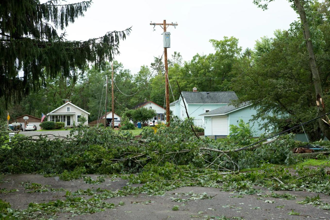
But for most utilities, that question is still answered with guesswork. As one of the first people sent in after the winds dropped below 50 mph for hurricanes or when roads were considered safe enough for a 4-wheel drive vehicle during ice and snowstorms, we know. Our job was to assess damage from a select number of small areas, send back a few data points based on visuals, and hope that someone could piece together the big picture.
Unfortunately, that’s not how recovery works. You can’t make multi-million-dollar decisions on partial information. Yet it’s precisely what we’ve had to do for years.
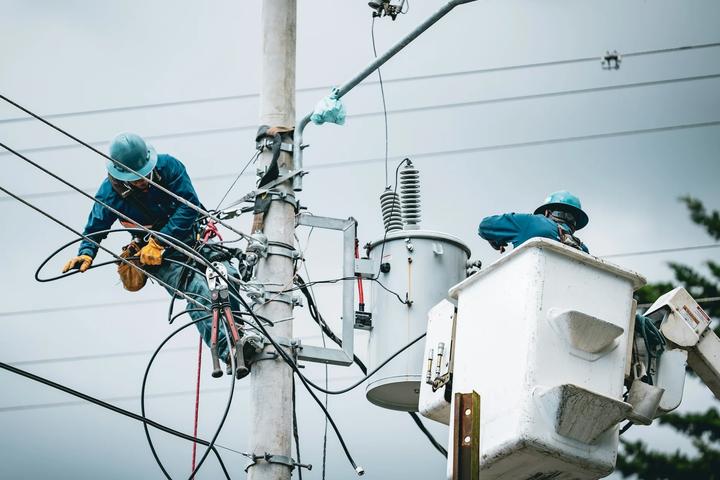
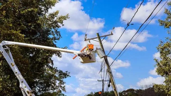
The Old Way: Scout-and-Guess
Storm damage assessment used to mean driving into the unknown. You’d hope for clear roads and a cell signal. You’d gather a few visual observations and call them in. If five crews saw ten broken poles in one area, leadership would extrapolate from that and send 100 crews to that zone.
Sometimes they guessed right. Often, they didn’t.
We’ve seen staging sites set up in the wrong town. We’ve seen entire fleets idle because the real damage was two counties away. Every mile matters. Every hour counts. And mutual assistance is best leveraged when you can direct those extra crews to the right locations.
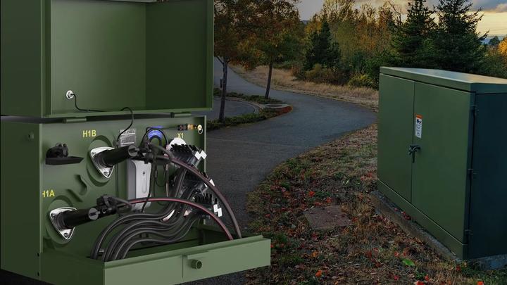
The New Way: Seeing the Grid in Real Time
Today, we have the storm damage technology we wish we'd had back then. We can now use smart and real-time monitoring to see what’s happening on the grid during the storm:
- Pole tilt sensors showing where structures are leaning or downed.
- Impact detection alerting you to sudden failures or potentially damaged structures.
- Voltage and current loss patterns revealing where circuits have been severed.
- Transformer monitors reporting outage signatures and anomalies as they happen.
Together, this creates a live heat map of damage. You know exactly where to stage — and more importantly, where not to.
Why It Matters
Staging close to the real damage isn’t just about efficiency — it’s about cost, safety, and speed:
- Lower fuel and lodging costs for crews
- Less idle time waiting for reassignments
- Faster service restoration for customers
- Better public trust in your utility’s response
When you get the location right, you start recovery faster. You stop wasting time chasing the storm. And you avoid the ripple effect of bad early assumptions, because storm damage is not static – it can change during and after the worst of the storm has passed
Takeaway
Getting the right location is not just a logistics win — it’s a resilience multiplier. When you can see damage in real time, you take the guesswork out of storm recovery and replace it with precision.
In the next post, we’ll explore how this visibility helps you deploy the right mix of crews — because tree crews and line crews aren’t interchangeable, and every wrong dispatch wastes precious time.